")
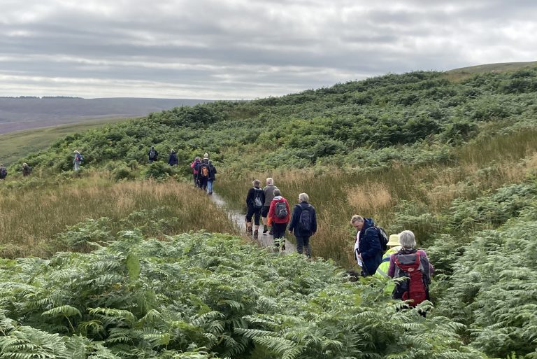
We have created a series of 6 self-guided walk leaflets with 18 walks to help you to explore some of the footpaths and bridleways around the area. They include a number of short walks starting from 1 mile, and range up to an 8 mile walk. They can be downloaded as pdfs and printed copies of the leaflet can be found at outlets in the Redesdale area.
You can also follow the 14 mile Three Churches Trail which follows in the footsteps from St Cuthbert from Elsdon to Bellingham through the Rede Valley.
Please choose from the selection of walk leaflets below :
This self-guided walk leaflet has been designed to encourage you to explore some of the footpaths and bridleways around Otterburn.
This self-guided walk leaflet has been designed to encourage you to explore some of Whitelee Moor National Nature Reserve and its surroundings.
This self-guided walk leaflet has been designed to encourage you to explore some of the footpaths and bridleways around Redesdale Forest.
This self-guided walk leaflet has been designed to encourage you to explore some of the footpaths and bridleways around Elsdon.
This self-guided walk leaflet has been designed to encourage you to explore some of the footpaths and bridleways around West Woodburn & Corsenside.
This self-guided walk leaflet has been designed to encourage you to explore some of the footpaths and bridleways around High Rochester.

")